Array
(
[0] => Array
(
[name] => {:en}Boral River{:}{:bn}বড়াল নদী{:}
[post_id] => 13851
[post_link] => http://offroadbangladesh.com/places/boral-river-5/
[thumb_link] => http://offroadbangladesh.com/wp-content/uploads/2015/08/Boral-River-3-300x145.jpg
[post_content] => {:en}
Boral River is the main river in Bagatipara which has divided Bagatipara Upazila in two parts. The origin of this river is from the river Padma started from the Charghat Upazila of Rajshahi district. The total length of Baral River is 120 km. It flows from Charghat of Rajshahi, and through Bagatipara, Lalpur, Baraigram, Natore Sadar of Natore district, Gurdaspur Upazila of Pabna district and joined with the Jamuna River.
Once, this river was the main means of communication. In Monsoon, this river trail is used to transport goods from one place to another, but in dry season, the water way remains useless. The water of this river is now massively used for farming in the field. Once there were many fishes available in this river. Due to the At one time there were many fish in the river. Now, as the river silted up, the fish cycle is been destroyed.
{:}{:bn}
বাগাতিপাড়ার উল্লেখযোগ্য নদী হলো বড়াল নদী। বাগাতিপাড়া উপজেলাটি বড়াল নদীর মাধ্যমে দ্বিখন্ডিত হয়েছে। বড়াল নদীর উৎপত্তি পদ্মা নদীর রাজশাহী জেলার চারঘাট উপজেলা থেকে। বড়াল নদীর দৈর্ঘ্য ১২০ কিলোমিটার। এটি রাজশাহীর চারঘাট, নাটোর জেলার বাগাতিপাড়া, লালপুর, বড়াইগ্রাম, নাটোর সদর, গুরুদাসপুর হয়ে পাবনা জেলার মধ্যে দিয়ে প্রবাহিত হয়ে যমুনায় মিশে গেছে। এক সময় এ নদীই ছিল যোগাযোগের প্রধান মাধ্যম। বর্ষা মৌসুমে সীমিত আকারে নদীর মাধ্যমে একস্থান থেকে অন্যস্থানে মালামাল আনা নেয়া করা হলেও শুকনা মৌসুমে নদীতে পানি কমে যাওয়ায় যোগাযোগের অযোগ্য হয়ে পড়ে। বর্তমানে এই বড়াল নদীর পানি দ্বারা কৃষিকাজ করা হয়। এক সময় নদীতে অনেক মাছ পাওয়া যেত। এখন নদী ভরাট হয়ে যাওয়ার কারণে মাছ পাওয়া যায় না।
{:}
)
[1] => Array
(
[name] => {:en}Sangu River{:}{:bn}সাঙ্গু নদী{:}
[post_id] => 5349
[post_link] => http://offroadbangladesh.com/places/sangu-river/
[thumb_link] => http://offroadbangladesh.com/wp-content/uploads/2015/03/2Sangu-river1-300x200.jpg
[post_content] => {:en}
The Sangu River is a river in Myanmar and Bangladesh. Its source is in the North Arakan Hills of Myanmar, located at 21°13´N 92°37´E. The Arakan Hills form the boundary between Arakan and the Chittagong Hill Tracts. It follows a northerly circuitous course in the hill tracts and then enters Bangladesh near Remarki, Thanchi Upazila, Bandarban District, from the east. It flows north through Thanchi, Rowangchhari and Bandarban Sadar Upazilas of Bandarban District. It then flows west through Satkania and Banshkhali Upazilas in Chittagong District and flows into the Bay of Bengal near Chittagong, at 22°6´N 91°51´E, or about 16.09 kilometres (10.00 mi) south of the mouth of the Karnafuli River. The length of the river is 270 kilometres (170 mi); 173 kilometres (107 mi) are located within Bangladesh.
Sangu River is the complete part of the natural beauty of Bandarban. It follows a northerly circuitous course in the hill tracts up to Bandarban. It enters the district from the east and flows west across the district and finally falls into the Bay of Bengal at the end of a course of 270 km. This river is flowing through the hills thousands of years. It is an important route to communicate with Ruma and Thanchi Upazila. It has huge financial interests for the population of Bandarban. This river is widely used for transportation, agricultural and other necessary products for the people of remote community.
In the winter season the current of the river almost becomes stagnant but in the rainy season the current becomes aggressive. Visitor must be attract with the beautification scattered on the both sides of it. You can find here hills, forests, falls with a river together. All the way you will be thrilled only and it is simply amazing.
The major tributaries of the river are the Chand Khali Nadi and Dolukhal. The Chand Khali Nadi flows through the Patiya Plains, and the Dolukhal River drains into the Satkania Plains. Another tributary is the Kumira Khali, which drains into the Kutubdia Channel. There are seven Bangladesh Water Management Board hydrometric stations on this river, which have been recording data since 1965.
The Sangu drains off the waters of Patiya, Satkania, and Banshkhali Upazilas. It has a connection with the Karnafuli River through the Chand Khali River. The Sangu is a shallow river, but it becomes violent during rains and develops rapid currents. It is navigable up to 48.27 kilometres (29.99 mi) from the estuary. The Sangu gas field is located about 50 kilometres (31 mi) southwest of Chittagong and reaches a depth of 10 meters at its mouth.
{:}{:bn}
বান্দরবানের প্রাকৃতিক সৌন্দর্যের অন্যতম অংশ সাঙ্গু নদী পার্বত্য চট্রগ্রামে উত্তরদিকে বৃত্তাকারে বান্দরবান পর্যন্ত প্রবাহিত হয়েছে। পূর্বদিক দিয়ে বান্দরবানে প্রবেশ করে নদীটি জেলার পশ্চিম দিক দিয়ে বের হয়েছে এবং প্রায় ২৭০ কিলোমিটার প্রবাহিত হওয়ার পর বঙ্গোপসাগরে মিলিত হয়েছে। পার্বত্য অঞ্চলে হাজার বছর ধরে প্রবাহিত এই নদীটি রুমা এবং থানচি উপজেলার সাথে যোগাযোগের এক গুরুত্বপূর্ণ মাধ্যম। বান্দরবানের জনগনের অর্থনৈতিক প্রবৃদ্ধিতে এই নদীটি গুরুত্বপূর্ণ ভুমিকা পালন করছে। দুর্গম এই অঞ্চলের মানুষেরা পরিবহন, কৃষি এবং অন্যান্য প্রয়োজনীয় কাজে নদীটিকে বহুভাবে ব্যবহার করে থাকে।
শীতকালে সাঙ্গুনদীর স্রোত অনেকাংশে ম্রিয়মাণ হয়ে গেলেও বর্ষাকালে নদীটির স্রোত তীব্র আকার ধারন করে। সাঙ্গু নদীর দুই তীরের পাহাড়, বন, নদী ও ঝর্ণার সৌন্দর্যে যেকোনো পর্যটকই বিমোহিত হবেন। এক কথায় সাঙ্গুনদী দেখে আপনি শুধু অবাকই হবেন না বরং মুগ্ধতা আপনাকে গ্রাস করবে।
{:}
)
[2] => Array
(
[name] => {:en}Dholai River{:}{:bn}ধলাই নদী{:}
[post_id] => 9048
[post_link] => http://offroadbangladesh.com/places/dholai-river/
[thumb_link] => http://offroadbangladesh.com/wp-content/uploads/2015/05/Dholai-Nodi-Bholagonj-11-300x225.jpg
[post_content] => {:en}
Dholai River is originated from the Cherapunji Hills (চেরাপুঞ্জি পাহাড়) of India and entered the country through the Bholagonj of Sylhet. After flowing very poorly in our country, it joined with the River Surma.
Dholai River (ধলাই নদী) is famous for the stones. People used to collect the stone from the river. I have walked at the bank of the river from Bholagonj to “dosh number point”. The river bank seems too high for me. Possibly during rainy season, the river may have lot of water with heavy current.
[This spot needs more detail. If you have more information and photos, please be advised to add in our website. Your name will be published as a Content Contributor]
{:}{:bn}
ধলাই নদী ভারতের চেরাপুঞ্জি পাহাড়ে উৎপত্তি হয়ে সিলেটের ভোলাগঞ্জ দিয়ে বাংলাদেশে প্রবেশ করেছে। বাংলাদেশের অভ্যন্তরে সল্প মাত্রায় প্রবাহিত হয়ে এই নদীটি সুরমা নদীর সাথে মিলিত হয়েছে।
পাথরের জন্য ধলাই নদীর খ্যাতি রয়েছে। মানুষজন একসময় এই নদী থেকে পাথর সংগ্রহ করতো। ভোলাগঞ্জ থেকে ‘দশ নং পয়েন্ট’ পর্যন্ত আপনি ধলাই নদীর পাড় ঘেঁষে হাঁটতে পারবেন। হাঁটার সময় নদীটির পাড় আপনার কাছে বেশ উঁচু মনে হতে পারে। বর্ষাকালে পানি বেড়ে যাওয়ায় ধলাই নদীর সৌন্দর্য পূর্ণমাত্রা অর্জন করে।
{:}
)
[3] => Array
(
[name] => Padma River
[post_id] => 6359
[post_link] => http://offroadbangladesh.com/places/padma-river-%e0%a6%aa%e0%a6%a6%e0%a7%8d%e0%a6%ae%e0%a6%be-%e0%a6%a8%e0%a6%a6%e0%a7%80/
[thumb_link] => http://offroadbangladesh.com/wp-content/uploads/2015/04/Padma-River-11-300x225.jpg
[post_content] =>
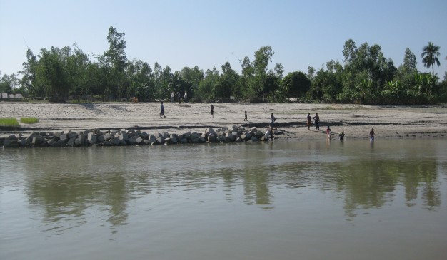
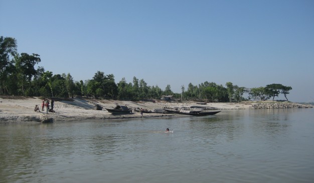
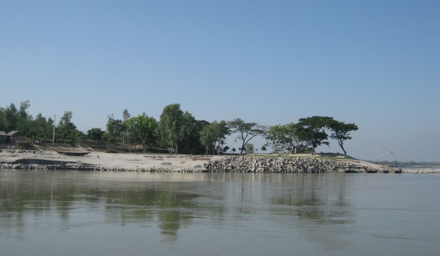
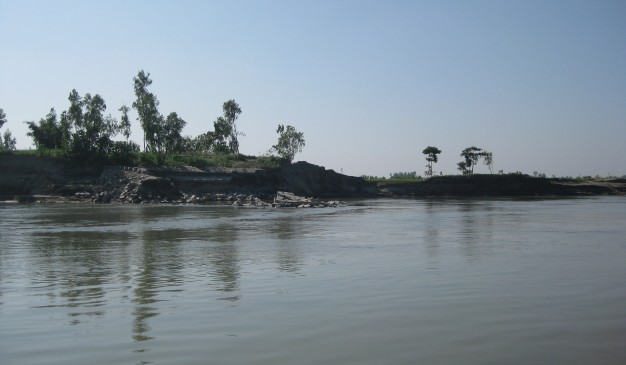
The Padma River (Bengali: পদ্মা Pôdda) is a major trans-boundary river in Bangladesh. It is the main distributary of the Ganges (Bengali: গঙ্গা Gôngga), which originates in the Himalayas. The Padma enters Bangladesh from India near Chapai Nawabganj. It meets the Jamuna (Bengali: যমুনা Jomuna) near Aricha and retains its name, but finally meets with the Meghna (Bengali: মেঘনা) near Chandpur and adopts the name ‘Meghna’ before flowing into the Bay of Bengal. Three side of the shariatpur is bounded by river. Padma river is bounded Shariatpur by various name such as Padma, Meghna & kirtinasha.
)
)